
Description
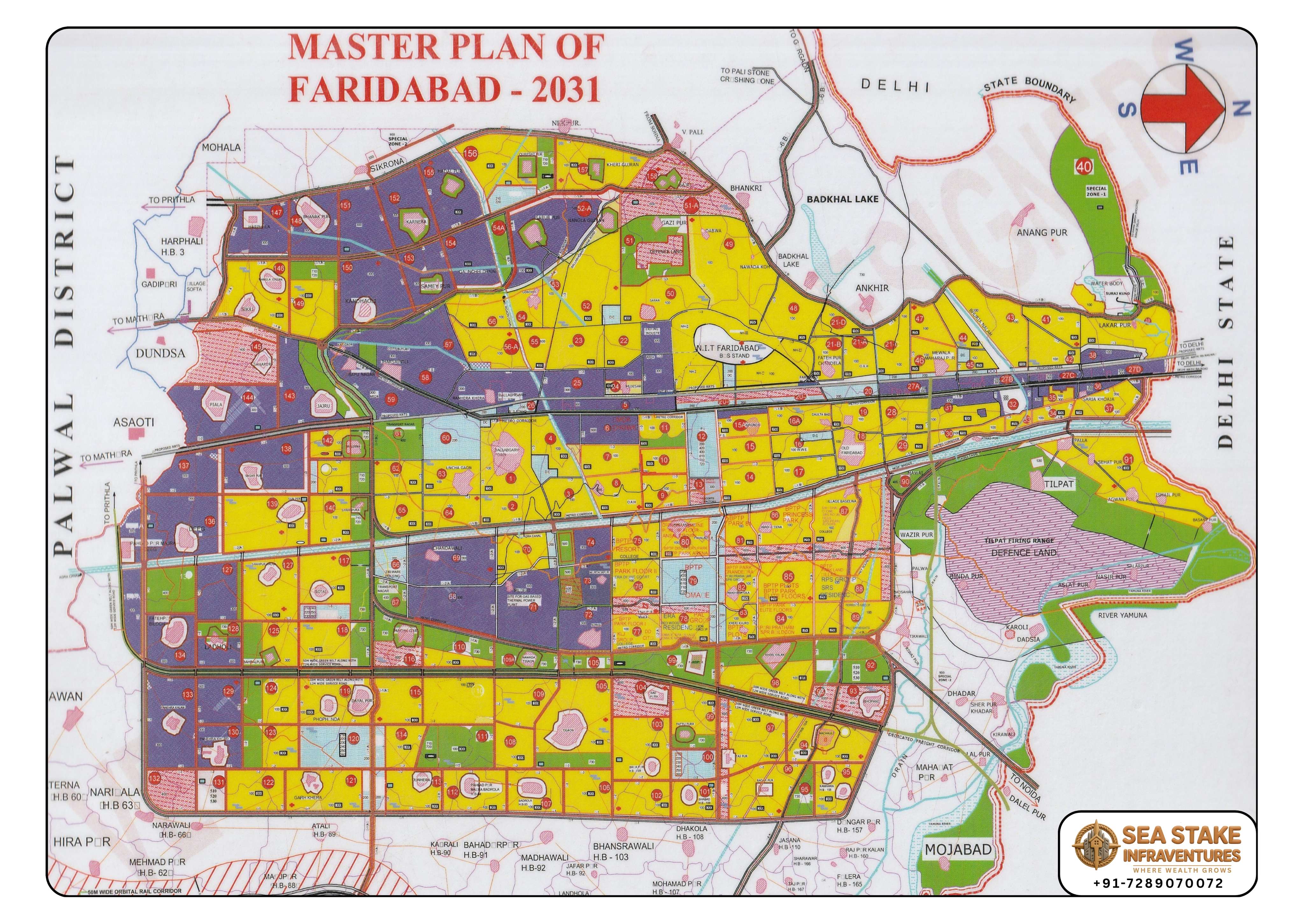
Faridabad Master Plan 2031 Map
The Faridabad Master Plan 2031 is the long-term urban development blueprint prepared to guide the planned expansion of Faridabad. It defines future land use, infrastructure planning, transportation networks, residential growth, commercial development, industrial expansion, institutional zones, and environmental conservation areas across the city.
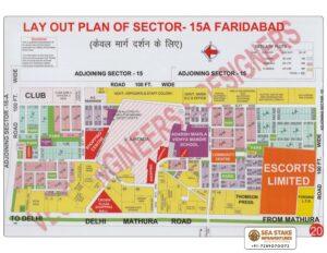
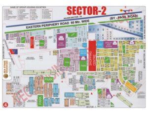
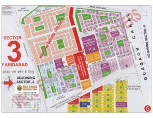
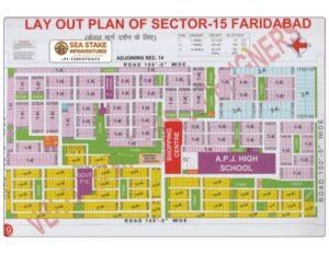
This master plan provides a detailed sector-wise overview of Faridabad’s planned development up to the year 2031. It helps homebuyers, investors, developers, architects, planners, and businesses understand how different parts of the city are expected to evolve through planned infrastructure and urban expansion.
The plan identifies numerous residential sectors, commercial hubs, industrial areas, institutional belts, green zones, and public utility spaces, ensuring balanced urban growth while preserving environmental resources.
One of the major strengths of the Master Plan is its extensive transportation framework, incorporating national highways, arterial roads, bypass corridors, railway lines, proposed transport routes, and sector roads that improve connectivity within Faridabad and neighbouring regions including Delhi, Gurugram, Noida, Palwal, and Ballabhgarh.
The map also highlights important natural features and environmentally sensitive areas such as Badkhal Lake, Anangpur, Yamuna floodplain, green belts, reserved forests, and ecological zones, ensuring that future development remains environmentally sustainable.
The Faridabad Master Plan further allocates land for schools, colleges, hospitals, public institutions, recreational spaces, parks, sports facilities, government offices, commercial centres, and industrial clusters to support the city’s growing population.
Key Features of the Master Plan
- Sector-wise development planning
- Residential land use
- Commercial districts
- Industrial zones
- Institutional areas
- Green belts and parks
- Public utility land
- Transport corridors
- Railway network
- Major highways
- Sector roads
- Proposed infrastructure
- Environmental conservation zones
- Urban expansion planning
- Long-term city development strategy
The Master Plan plays a vital role in identifying future growth corridors and investment opportunities. Areas earmarked for residential, commercial, and mixed-use development often experience increased demand as infrastructure projects are completed over time.
For property buyers and investors, the Faridabad Master Plan 2031 Map serves as an essential planning document that helps evaluate location potential, infrastructure connectivity, future development prospects, and long-term appreciation opportunities before making real estate decisions.
Sea Stake Infraventures provides verified layout maps, master plans, sector maps, investment consultancy, and professional guidance for residential and commercial properties across Faridabad and Greater Faridabad.
Project Highlights
- Official Faridabad Master Plan 2031
- Sector-wise development map
- Residential planning
- Commercial corridors
- Industrial development
- Institutional zones
- Green belt planning
- Transport infrastructure
- Future urban expansion
- Long-term investment reference
Location Advantages
- Covers the entire Faridabad district
- Connectivity to Delhi
- Easy access to Gurugram and Noida
- Integrated with NH-19
- Delhi-Mumbai Expressway connectivity
- Major railway network
- Planned sector roads
- Green infrastructure
- Future transport corridors
- High urban growth potential
Why Refer to the Faridabad Master Plan 2031?
The Faridabad Master Plan 2031 helps buyers, investors, developers, and businesses understand the city’s future development strategy. By identifying planned infrastructure, road networks, land use, and growth corridors, it enables informed real estate investment and development decisions.
Sea Stake Infraventures
Sea Stake Infraventures is a trusted real estate advisory company specialising in verified master plans, layout maps, township planning, plotted developments, commercial properties, and investment consultancy across Faridabad and Greater Faridabad. We help buyers make informed property decisions through authentic planning documents and expert guidance.
Frequently Asked Questions
What is the Faridabad Master Plan 2031?
The Faridabad Master Plan 2031 is the long-term urban development plan that defines future residential, commercial, industrial, institutional, transportation, and environmental planning across the city.
Why is the Master Plan important?
It helps property buyers and investors understand future infrastructure projects, planned development, road connectivity, land use, and growth potential before making investment decisions.
Does the Master Plan show all sectors?
Yes. The map provides a sector-wise overview of Faridabad, including residential, commercial, industrial, institutional, and green areas throughout the city.
Can Sea Stake Infraventures help interpret the Master Plan?
Yes. Sea Stake Infraventures offers expert guidance on the Faridabad Master Plan, verified sector maps, investment consultancy, project selection, and site visit assistance.