
Description
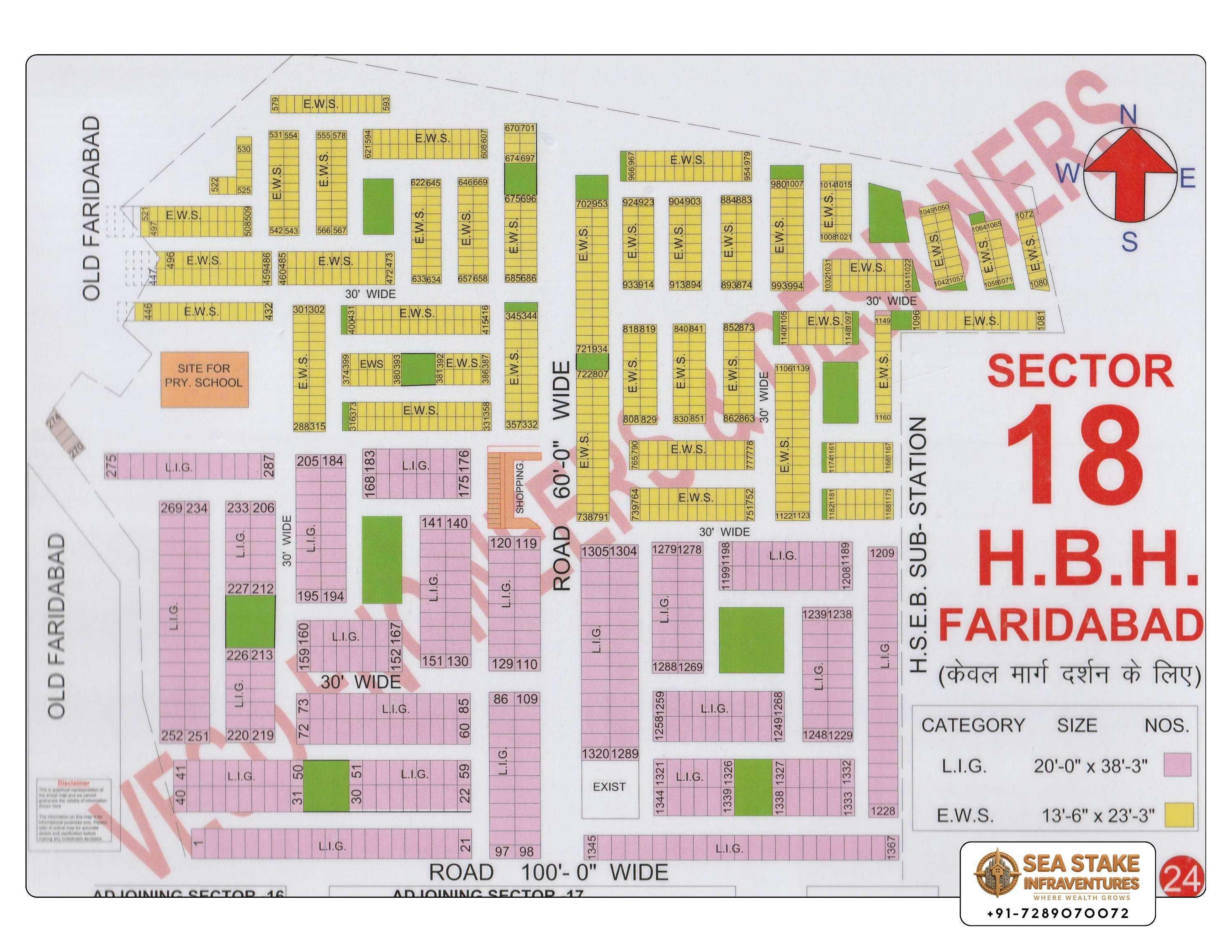
Sector 18 HBH Faridabad Map – Complete Haryana Housing Board Colony Layout
Sector 18 HBH (Haryana Housing Board) represents one of Faridabad’s planned government-developed residential housing colonies. Designed to provide organized and affordable housing, the colony features residential units, internal roads, open spaces, and essential community infrastructure that support comfortable urban living.
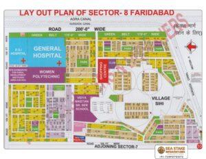
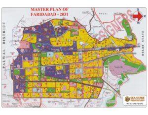
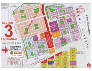
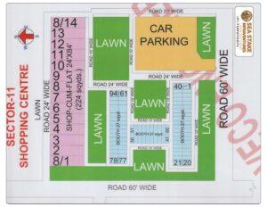
The Sector 18 HBH Faridabad Map provides a detailed overview of the colony’s layout, helping users understand housing blocks, internal streets, parks, access roads, and public utility areas. Whether you are planning to purchase a property, locate a specific block, or understand the overall layout before visiting, this map serves as a practical reference.
Unlike conventional HUDA sectors that mainly consist of plotted development, the Housing Board colony follows a planned residential model with organised housing blocks and community-focused infrastructure. Housing Board Haryana has historically developed affordable housing projects for different income groups across the state.
What You’ll Find in This Map
The layout includes:
- Haryana Housing Board Residential Blocks
- Internal Roads
- Housing Units
- Community Parks
- Public Utility Areas
- Entry & Exit Roads
- Open Spaces
- Important Landmarks
- Nearby Residential Areas
About Haryana Housing Board (HBH)
Housing Board Haryana was established to develop planned residential housing projects for citizens across Haryana. Many of its colonies are recognised for organised layouts, community facilities, and practical urban planning aimed at different income groups.
The Sector 18 HBH colony reflects this planned approach by providing residential housing within an established urban neighbourhood.
Residential Environment
Sector 18 HBH offers a community-oriented residential setting where residents benefit from:
- Organised Housing Blocks
- Wide Internal Streets
- Community Parks
- Local Convenience Stores
- Public Transport Access
- Established Residential Neighbourhood
- Nearby Schools & Healthcare
The colony continues to be a preferred option for families seeking an established location with everyday conveniences close at hand.
Connectivity & Accessibility
Sector 18 HBH enjoys convenient access to important destinations across Faridabad.
Nearby Connectivity
- NH-19 (Delhi–Mathura Road)
- Old Faridabad Railway Station
- Bata Chowk Metro Station
- Faridabad Bypass Road
- Sector 17
- Sector 18
- Sector 19
- Local Shopping Areas
Its location allows residents to access schools, hospitals, workplaces, and commercial markets within a short travel distance.
Nearby Facilities
Residents benefit from access to:
Education
- Government Schools
- Private Schools
- Coaching Institutes
- Colleges
Healthcare
- Multi-speciality Hospitals
- Clinics
- Diagnostic Centres
- Medical Stores
Daily Lifestyle
- Grocery Stores
- Local Markets
- Restaurants
- Banks & ATMs
- Parks
- Public Transport
Why Explore the Sector 18 HBH Map?
The layout map helps users:
- Understand Housing Block Planning
- Locate Individual Housing Blocks
- Navigate Internal Roads
- Identify Parks & Community Spaces
- Plan Property Visits
- Explore Nearby Amenities
- Understand Colony Infrastructure
Who Should Use This Map?
This map is useful for:
- Housing Board Residents
- Home Buyers
- Property Investors
- Architects
- Property Consultants
- Surveyors
- Banks
- Urban Planning Professionals
Download Sector 18 HBH Faridabad Map
Download the latest Sector 18 Haryana Housing Board Layout Map to understand the colony’s residential planning, internal roads, public facilities, and nearby infrastructure. Sea Stake Infraventures also provides guidance for buying, selling, and investing in Housing Board, HUDA, builder floor, and independent house properties across Faridabad.
Why Choose Sea Stake Infraventures?
Sea Stake Infraventures provides verified locality information, HUDA maps, Housing Board layouts, builder project guidance, and professional property consultation across Faridabad.
Our Services
- Housing Board Property Consultation
- Residential Property Advisory
- Builder Floor Assistance
- Independent House Guidance
- Site Visit Planning
- Property Comparison
- Documentation Support
Frequently Asked Questions
What does HBH mean in Sector 18 Faridabad?
HBH stands for Haryana Housing Board, referring to the government-developed residential housing colony in Sector 18, planned to provide organised and affordable housing.
What information does the Sector 18 HBH Map include?
The map includes housing blocks, internal roads, parks, public utility areas, access roads, and nearby landmarks within the Housing Board colony.
Who should use this layout map?
The map is useful for residents, homebuyers, investors, architects, property consultants, and anyone looking to understand the planning of Sector 18 HBH.
Can Sea Stake Infraventures help me buy property in Sector 18 HBH?
Yes. We assist buyers with Housing Board homes, builder floors, independent houses, HUDA properties, and other residential opportunities across Faridabad.